As an expert in marine geospatial analysis, CSA Ocean Sciences Inc. uses desktop, mobile, and web-based Geographic Information System (GIS) applications for spatial planning, survey design, field data collection, data management, interpretation, 2D and 3D visualization, and communication. Geospatial data analysis and visualization are a core component of our approach to projects of all sizes, serving clients in oil and gas exploration, government and non-governmental agencies, the U.S. military, port facilities, engineering firms, and utility service providers.
We employ mobile, desktop, and online tools supported by ESRI technology to collect and centralize data, conduct analyses, and communicate results. Our GIS metadata comply with International Standards Organization reporting requirements and provide information about the identification, extent, quality, spatial and temporal schema, spatial reference, and distribution of digital geographic data.
CSA has a team of geospatial analysts that produce cartographic products of the highest quality, and customized for each client and project. Examples of our products and services are listed below:
Our staff’s technical expertise also enables CSA to stay abreast of the latest tools and technology in the geospatial world, including use of the software packages listed below:
- Map production and cartography
- Web mapping and GeoPortal services
- Spatial analysis (marine, coastal, and terrestrial)
- Environmental Sensitivity Index (ESI) mapping
- Geographic/geophysical process modeling
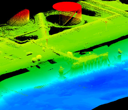
- Satellite and aerial image interpretation
- Sensitive resource mapping
- Field survey planning and execution
- Geo-database design, construction, and delivery
- Enterprise GIS design and implementation
- Spatial data management
- Site suitability and selection
- Natural resource planning
- Pollution and dispersal analysis
- Baseline and post-impact environmental characterization
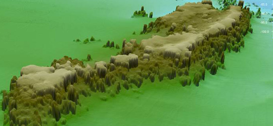
- 3D modeling, visualization, and analysis
- Exclusionary mapping
- Full motion video (FMV) analysis, interpretation, and presentation
- Emergency preparedness planning
- GeoSpatial project planning and design
- Spatial Awareness Decision Making Automation and Planning (SADMAP
- ESRI ArcGIS for Desktop – ArcMap (spatial analysis, modeling, and mapping)
- ESRI ArcGIS for Server (web-delivered map content, GeoPortal construction, data visualization)
- ESRI ArcSDE (spatially enabled database and data storage manager)
- Fledermaus (Spatial visualization and processing application)
- Microsoft SQL (enterprise database)
- ERDAS Imagine (remote sensing and image analysis)
- MakaiPlan (marine cable engineering software)
- HyPack® (marine survey data collection)
- CARIS (bathymetry processing)
- FEMA HAZUS-MH
- Sea-level Affecting Marshes Model (SLAMM)
- Sea, Lake, and Overland Surges from Hurricanes Model (SLOSH)
- AutoCAD
- GeoMedia