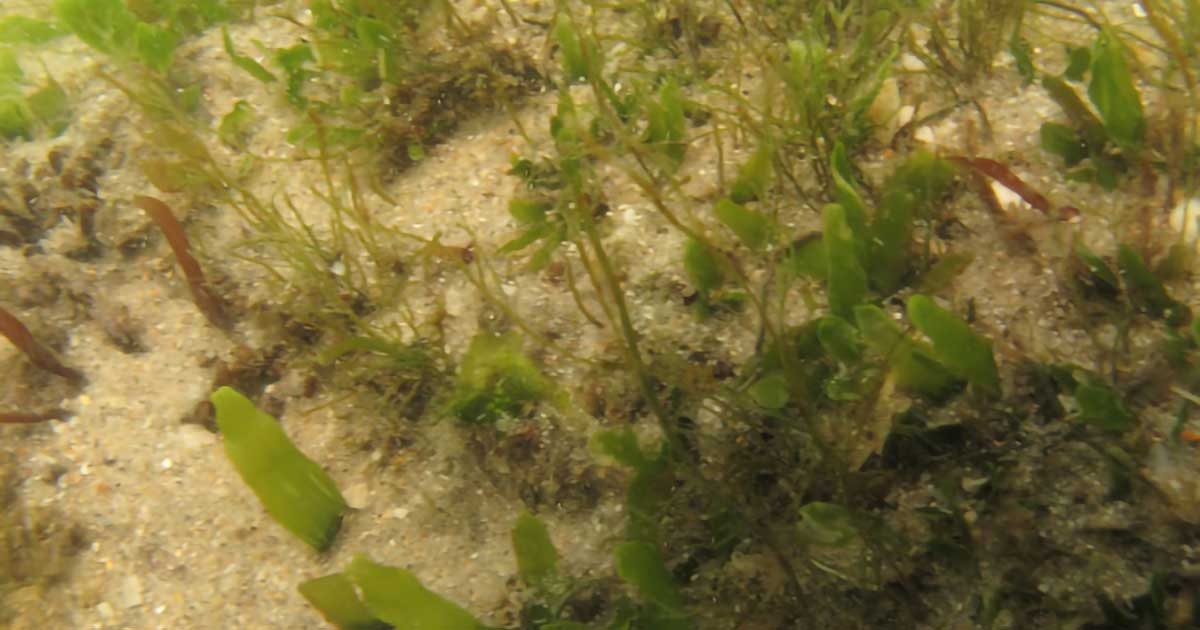
Brevard County, Florida is conducting a beach nourishment project that may affect sensitive nearshore hardbottom habitats. As part of a potential impacts monitoring program CSA scientists sampled epibiota and fishes in replicate plots (sampling units) on hardbottom within each of the four fill areas and one reference area along the Mid-Reach coast of Brevard County (FDEP Monuments R-118 to R-68). Sampling units were placed within intertidal and subtidal hardbottom strata. The distinction between intertidal and subtidal sites was based upon water depth and distance from shore. Within the sampling units, epibiota was assessed with quantitative photographs.
Digital images were evaluated to assess invertebrate and macroalgal cover and taxonomic composition. Total percent cover was assessed by superimposing a random-dot overlay (point-count) on the photographic images using image analysis software. Fishes were sampled within the subtidal stratum of each sampling unit using baited underwater video cameras. Data and findings from the surveys conducted for pre-construction conditions formed the baseline for during- and post-construction comparisons to follow in the future.

