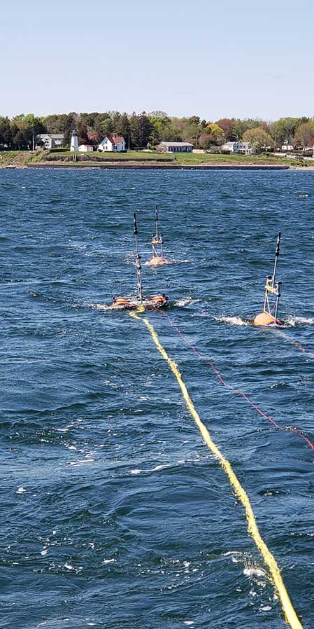
CSA utilizes a variety of subsea survey techniques to support coastal development, ports, harbors, dredging, subsea infrastructure, oil & gas activities, and various other government and commercial projects worldwide. Our field survey teams work closely with our Environmental Data Geospatial Systems (EDGS) team to provide underwater imaging and various spatial studies related to our client’s project area.

CSA’s operations team is well-trained across a wide spectrum of hydrographic and geophysical instrumentation and their respective applications. They have extensive experience with adaptive platforms and mobilizing them in extremely remote locations using either our own assets or vessels of opportunity. Our equipment is owned and operated by CSA and strategically located among our global offices in an effort to serve our clients in the most cost-effective and efficient manner possible.
In order to meet the criteria of the project, CSA offers a wide variety of advanced survey platforms. These survey platforms range from shallow draft unmanned surface vessels (USVs) to integration on deep ocean vehicles such as autonomous underwater vehicles (AUVs) and remotely operated vehicles (ROVs). Our operations teams can also capture aerial imagery via our Wide Array Aerial Survey Platform (WAASP) drone.
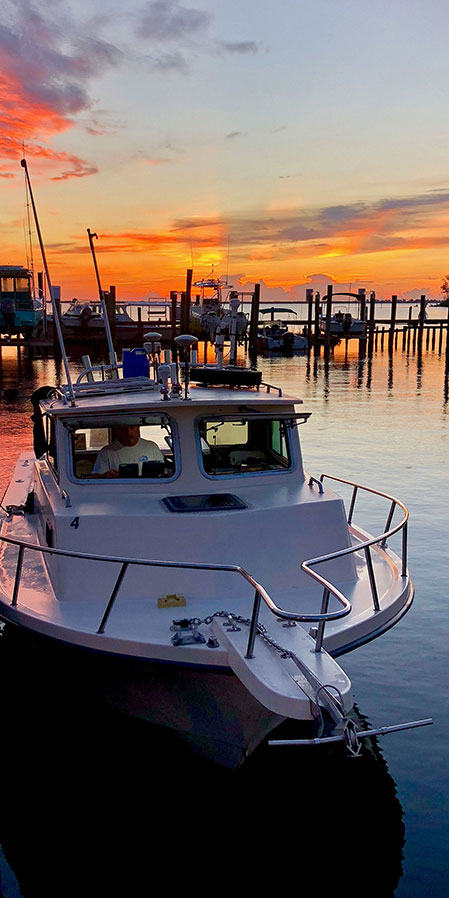
CSA also owns and operates its own fleet of coastal survey vessels that are capable of a wide range of project tasks including sediment, water, and biological sampling; hydrographic and geophysical surveys; video documentation; and metocean services. The R/V Hawksbill, one of CSA's coastal survey vessels, is a custom-built aluminum catamaran, designed to conduct a wide range of hydrographic survey, environmental monitoring, and light geotechnical work. The R/V Hawksbill has the ability to simultaneously run an assortment of hydrographic survey equipment, including side-scan sonars, sub bottom profilers, multi-beams, magnetometers, and towed video sleds. With an on-board hydraulic winch capable of deploying over 1,000 m of coaxial cable, the R/V Hawksbill can support projects from coastal waters to beyond the continental shelf.
CSA’s primary geophysical systems
- Geophysical
- Single Beam and Multi-beam Echo Sounders
- Side-scan Sonar
- Sub Bottom Profilers
- Scanning Sonar
- Magnetometry
- Magnetometers
- Video Documentation
- High and standard definition video
- High resolution still photography
CSA utilizes various platforms to collect hydrographic & geophysical data:
- Coastal Survey Vessels
- Unmanned Surface Vessels (USVs)
- Autonomous Underwater Vehicles (AUVs)
- Remotely Operated Vehicles (ROVs)


