CSA Concludes an Ecological Risk Assessment in the Gulf of Paria, Trinidad
An Ecological Risk Assessment (ERA) is a useful tool to evaluate the likelihood that the ecology of an area (ranging from organismal to whole communities, including human) will be impacted from exposure to project-related stressors in addition to other natural and anthropogenic stressors. Stressors may include, but not be limited to, chemicals, disease, invasive species, and climate change. In addition to identifying stressors and their likelihood of having a potential impact, an ERA also offers opportunities for management and mitigation of ecological risk.
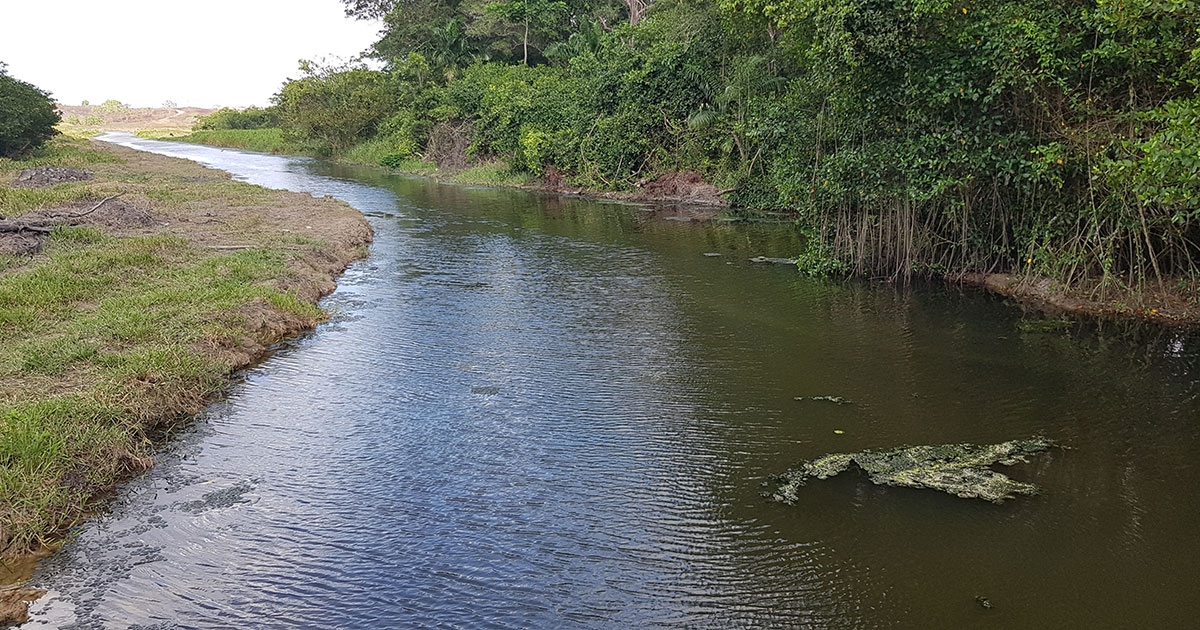
Scientists at CSA Oceans Sciences (Trinidad) Ltd. (CSA) completed an ERA for the Gulf of Paria, the first study of its kind in the region. The ERA was initiated by a qualitative Screening Level Ecological Risk Assessment (SLERA), during which CSA prepared a desktop scoping report and designed and conducted two Environmental Baseline Surveys to examine the quality of the water, sediment, and biological resources within the study area. CSA also coordinated a Conceptual Site Model workshop between subject matter experts and key stakeholders. The workshop identified potential stressors and valued ecosystem components (VECs) potentially at risk in the Gulf of Paria and enabled the quantitative Baseline ERA (BERA) to be conducted.
The quantitative BERA focused on studying the highest ranked stressors identified during the Conceptual Site Model workshop: oil spills and chemical spills. CSA analysts, subject matter experts, and local agencies examined quantitative simulation models for various spill scenarios, including the fate and transport of floating oil, volatile organic compounds, polycyclic aromatic hydrocarbons, and other chemicals to determine the potential effect and ecological significance of spills on VECs. The quantitative model determined the magnitude of the spill and the toxicological exposures that could occur. These exposures were compared against defined toxicity thresholds to evaluate the expected ecological effects.
A spatial analysis is fundamental to an ERA, and this project involved the development of more than 200 digital maps using Geographic Information System (GIS) software, tools, and analysis to illustrate modelled spills and VECs. CSA’s analysts presented the detailed data in GIS format to enable spatial visualisation of the fate and transport of spilled material, both floating and dissolved, and the VECs potentially at risk.
CSA presented the findings of the SLERA and BERA during a virtual workshop, which included participation from approximately 80 persons from the oil and gas industry, research institutions, regulatory agencies, and environmental non-governmental organizations, all of whom had an interest in understanding the potential ecological risk in the Gulf of Paria and recommendations for management.
For further information on how CSA can offer support on ERAs, contact This email address is being protected from spambots. You need JavaScript enabled to view it..
Corporate Headquarters
8502 SW Kansas Ave.
Stuart, FL 34997