CSA’s Latest Investment in a Sediment Profiling Imaging Camera Will Help Customers Sea the Difference
While CSA Ocean Sciences Inc. (CSA) serves a broad and varied customer base across ocean and offshore industries, our approach to designing and executing specialized marine scientific survey projects is uniform: to offer our clients the best-in-class project planning, operations, and analysis. This commitment to uncompromising data quality requires an ongoing investment in professional talent—best-in-category field operations and subject matter experts—but also the latest technologies with which to ensure the cost-effective capture and processing of robust and precise marine data.
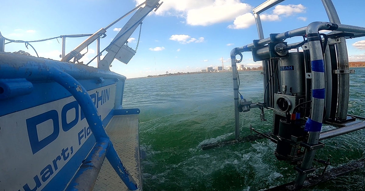
To this end, CSA recently acquired a Sediment Profile Imaging (SPI) camera system model 3731-D REMOTS (Remote Ecological Monitoring of The Seafloor) Digital SPI, which is depth-rated to 4,000 m. This system is additionally equipped with a Plan View (PV) camera rated to 6,000 m. Both systems were manufactured by Eli Perrone at Ocean Imaging Systems, who build industry standard SPI systems.
SPI systems differ significantly from conventional undersea photo equipment as they image the sediment in profile, starting at the sediment-water interface via insertion of a water-filled prism hydraulically driven approximately 20 cm into the seafloor. High resolution images of the sediment profile over an area as large as 320 cm2 are taken with each sample, providing in situ imaging of organism-sediment relationships and sediment geochemistry of the shallow seafloor.
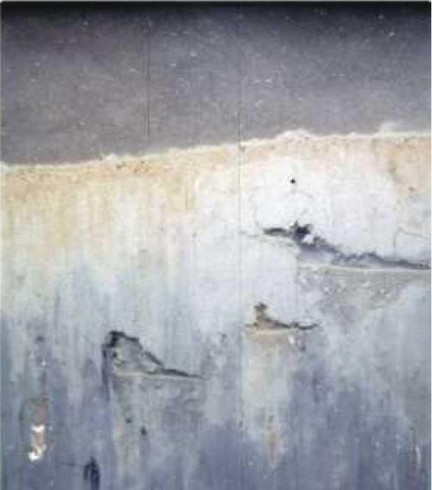
 Profile image from SPI showing the sediment-water interface, different sediment layers (including the darker apparent redox potential discontinuity [aRPD] layer), and numerous burrow openings and feeding pockets (voids) at depth within the sediment.
To satisfy industry requirements for seafloor site characterization such as those needed for Coastal and Marine Ecological Classification Standard (CMECS) and other classification needs, the SPI system is capable of capturing images that measure a wide variety of seafloor features including, but not limited to:
- Sediment grain size;
- Sediment surface boundary roughness;
- Dredge material thickness;
- Sediment redox discontinuity depth;
- Subsurface methane gas pockets;
- Surface methane gas pockets;
- Surface microbial aggregations; and
- Infaunal abundance, composition, and successional stage.
In addition to documenting characteristics associated with site assessment, the SPI/PV system provides quantitative data on measurements associated with physical and biological changes related to benthic function (e.g., bioturbation and utilization of organic material) that might result from physical changes to the environment. Such measurements support characterization of disturbance (both natural and anthropogenic) and documents recovery of biological, physical, and biogeochemical conditions. It can also be used to detect changes in the benthos related to sewage or thermal plume discharges and map habitat and sediment quality as well as anaerobic regions of the sea floor.
“This will assist our clients in capturing a more comprehensive characterization of the seafloor and associated habitat, which has become a higher priority for environmental agencies with the growth of offshore wind turbine installations in the US,” said Gordon Stevens, CSA President. “The SPI/PV system is a welcome addition to CSA’s advanced and expanding technology toolset and capabilities.” In addition to image collection, CSA will provide interpretation and quantification of SPI/PV images. “Analysis and reporting of SPI/PV-derived images provide complete end-to-end and rapid scientific assessments that are needed by our clients,” added Stevens.
CSA has long participated in SPI data collection, working extensively with Dr. Joseph Germano on projects over the years using early renditions of the SPI for various projects. The SPI was originally designed in 1984 in a collaboration between Drs. Joseph Germano and Donald Rhoads who also developed the scientific methods for analyzing the collected images and lead the way in establishing its credibility, adoption by industry, and acceptance by regulatory agencies. The SPI system has been updated since its original design and now uses an unmodified Nikon D7100 24.1 MPixel digital (as opposed to film) camera as a sensor. The REMOTS Digital SPI is a proven instrument that has resulted in thousands of successful deployments around the world meeting evolving domestic US and international survey requirements.
Corporate Headquarters
8502 SW Kansas Ave.
Stuart, FL 34997

