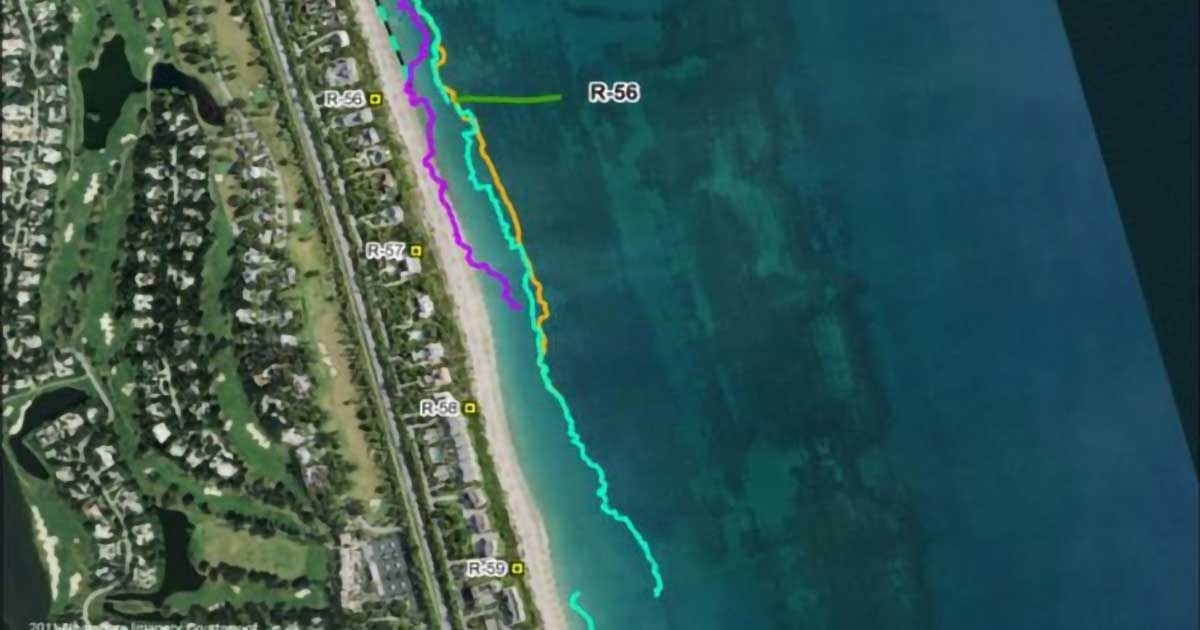
CSA provided GeoSpatial services for benthic mapping and characterization in support of Indian River County's beach re-nourishment program. Using aerial imagery in conjunction with ground verification surveys, CSA produced accurate benthic maps for inventory of hardbottom habitats to assess potential project-related impacts within the project area. CSA coordinated aerial imagery acquisition efforts by conducting visibility checks based on flight windows provided.
CSA utilized the aerial imagery and remote sensing to perform a supervised classification of hardbottom habitats. Other GIS technologies were utilized to analyze, convert, and display the data, produce maps, and calculate overall acreages of hardbottom within the project area. A geodatabase with the imagery and classified hardbottom was compiled, including ground verification survey photodocumentation, to produce maps depicting the interpreted benthic hardbottom features and supporting inventory summary tables.