CSA used remote sensing and Geographic Information System (GIS) technology to map shoreline sensitivity to oil spills in the eastern Mediterranean Sea. The Environmental Sensitivity Index (ESI) is a widely used system for ranking and classifying shoreline sensitivity based on characteristics such as degree of wave energy, potential penetration of oil into the substrate, and natural oil retention times of the shore type. This type of information is crucial to mitigate the potential impact of an oil spill.
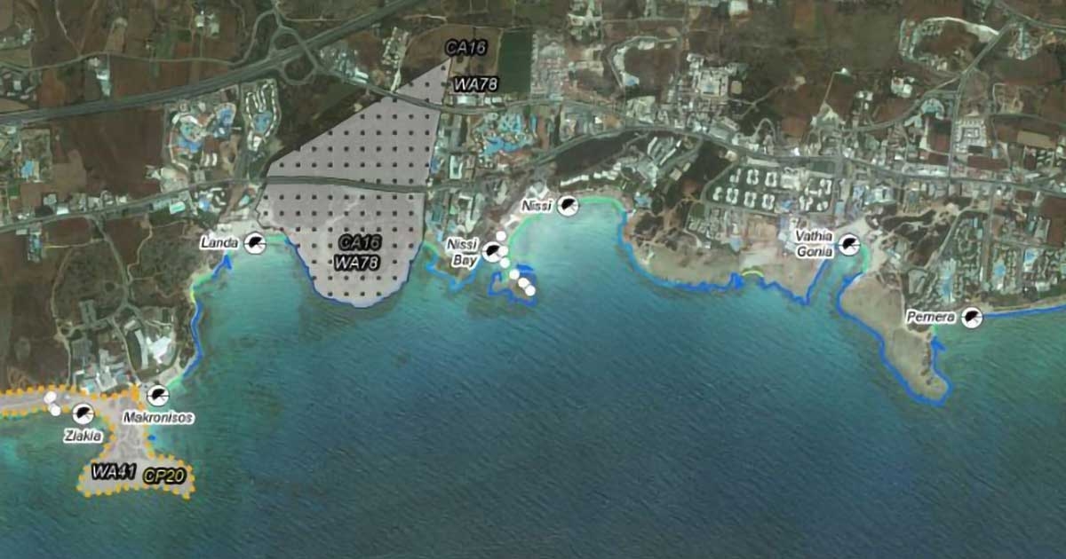
CSA acquired, examined, and interpreted high-resolution, georeferenced satellite imagery; assigned ESI Shore Types to digital shoreline segments; and identified features relevant to shoreline sensitivity such as human use areas, sensitive infrastructure, and sensitive biological resources (e.g., wildlife use areas and protected areas). CSA also conducted a ground-truthing study in Cyprus, during which 66 coastal locations were visited to verify and validate interpretations of remotely sensed imagery. A field report with detailed images, shoreline habitat classifications (ESI Shore Types), and site notes was developed.
CSA developed the ESI Atlas for the Republic of Cyprus, containing ESI maps for the 479 km of shoreline in Cyprus. The maps in the Atlas summarize information on three main aspects of coastal environments: ESI Shore Types, sensitive biological resources, and human use resources.